
Description
UK Aircraft Tracker Dottie Board – Watch the Skies Light Up
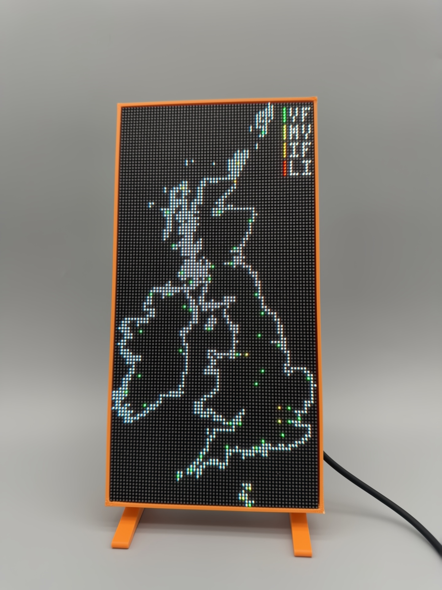
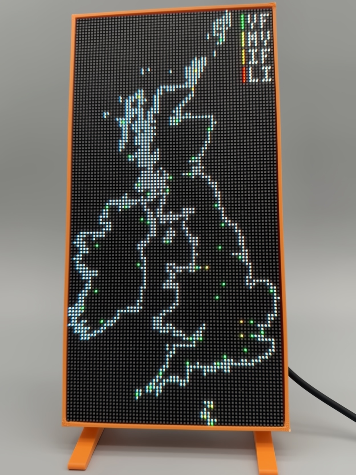
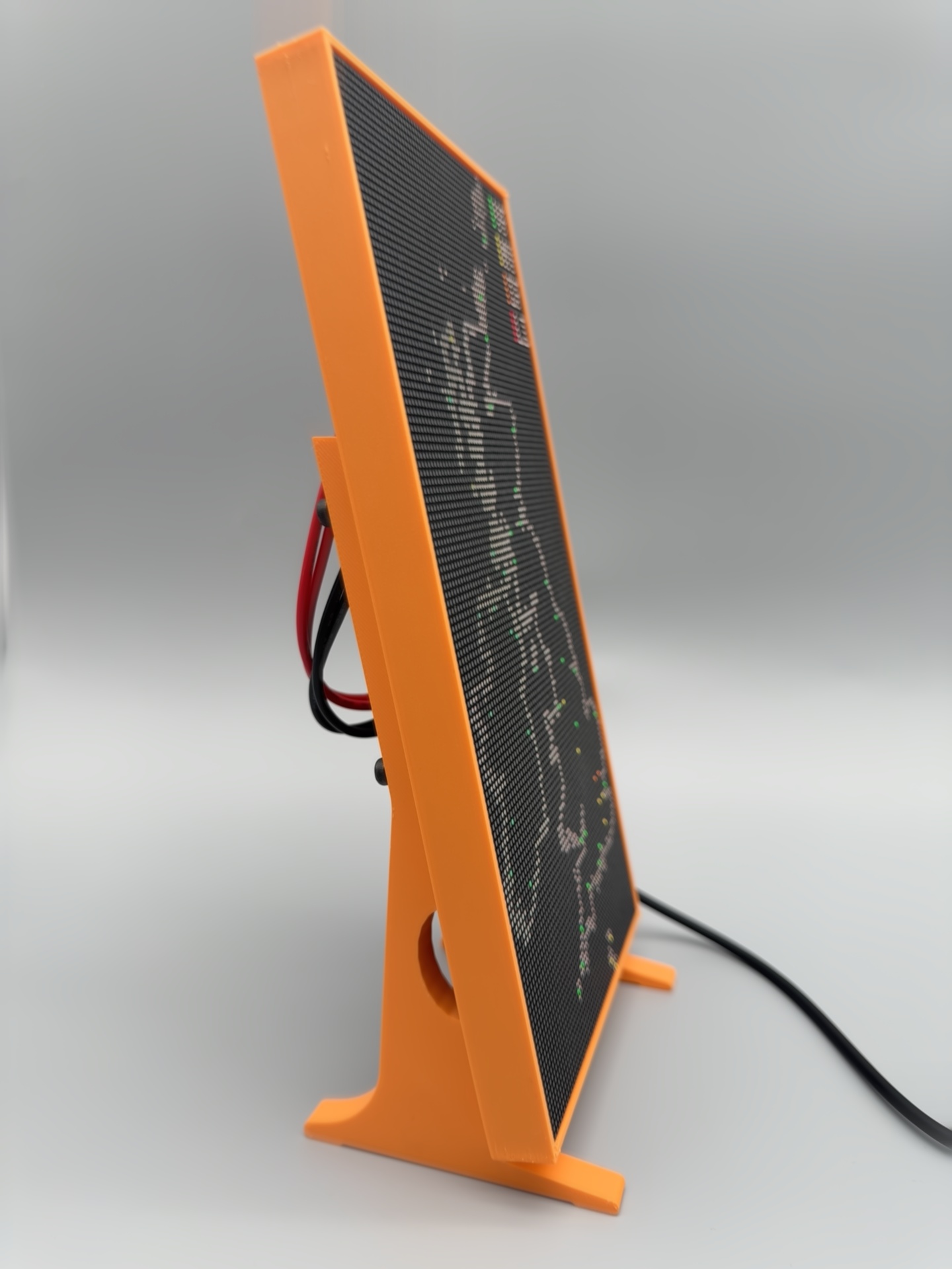
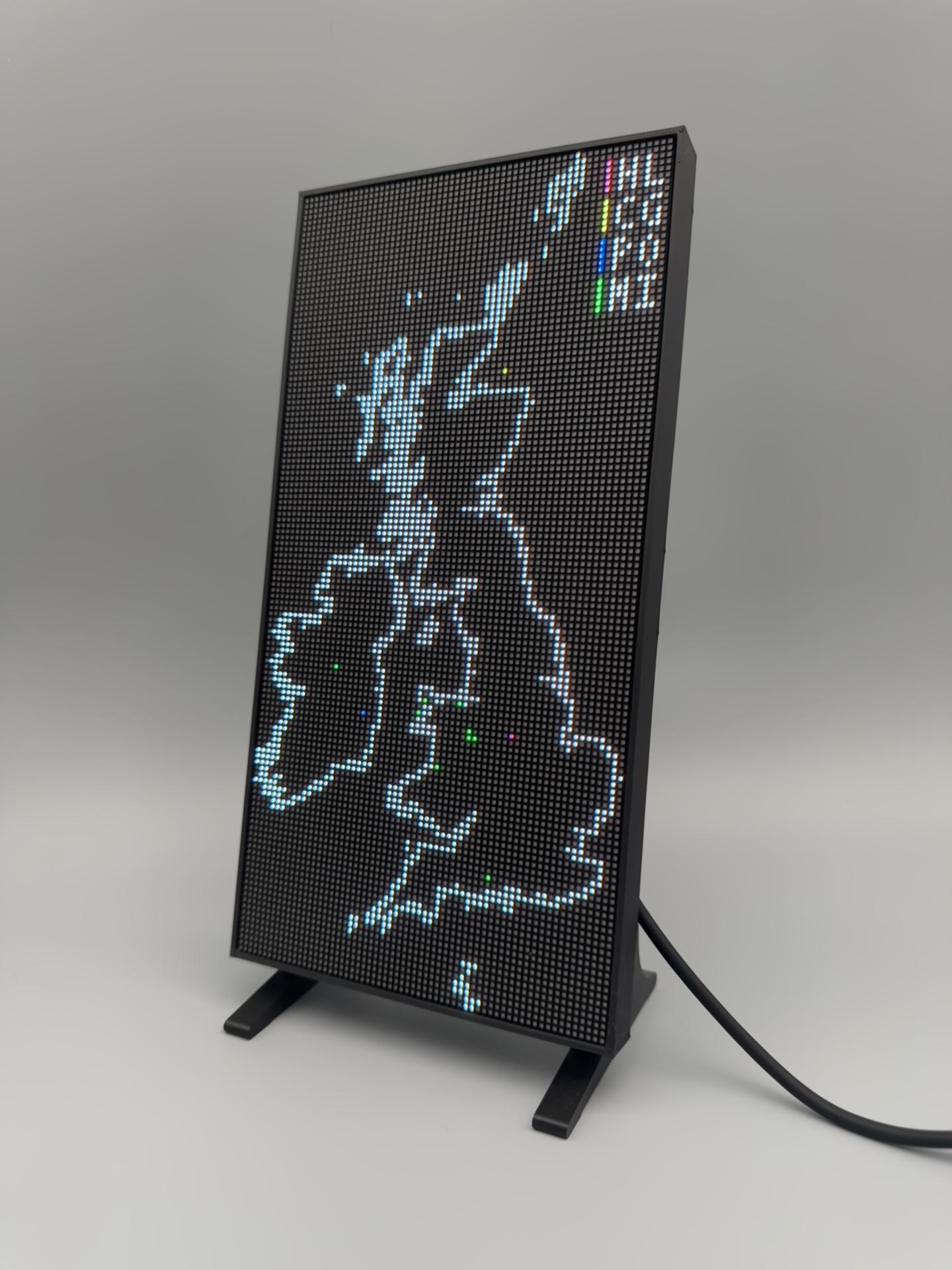
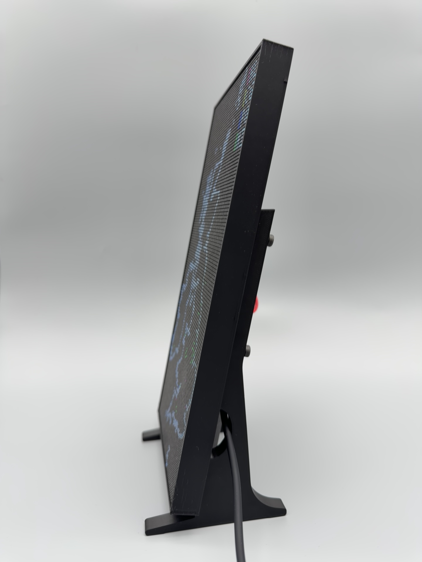
An interactive LED map of the UK and Ireland that shows aircraft activity as it happens. Each aircraft type gets its own LED colour, so you can see at a glance what is in the air.
- Emergency & Defense Mode – police helicopters, coastguard and air ambulance, plus military aircraft.
- VFR Mode – airport weather from live METAR data, shown as VFR, MVFR, IFR and LIFR colours.
- Military Mode – aircraft type recognition (coming soon).
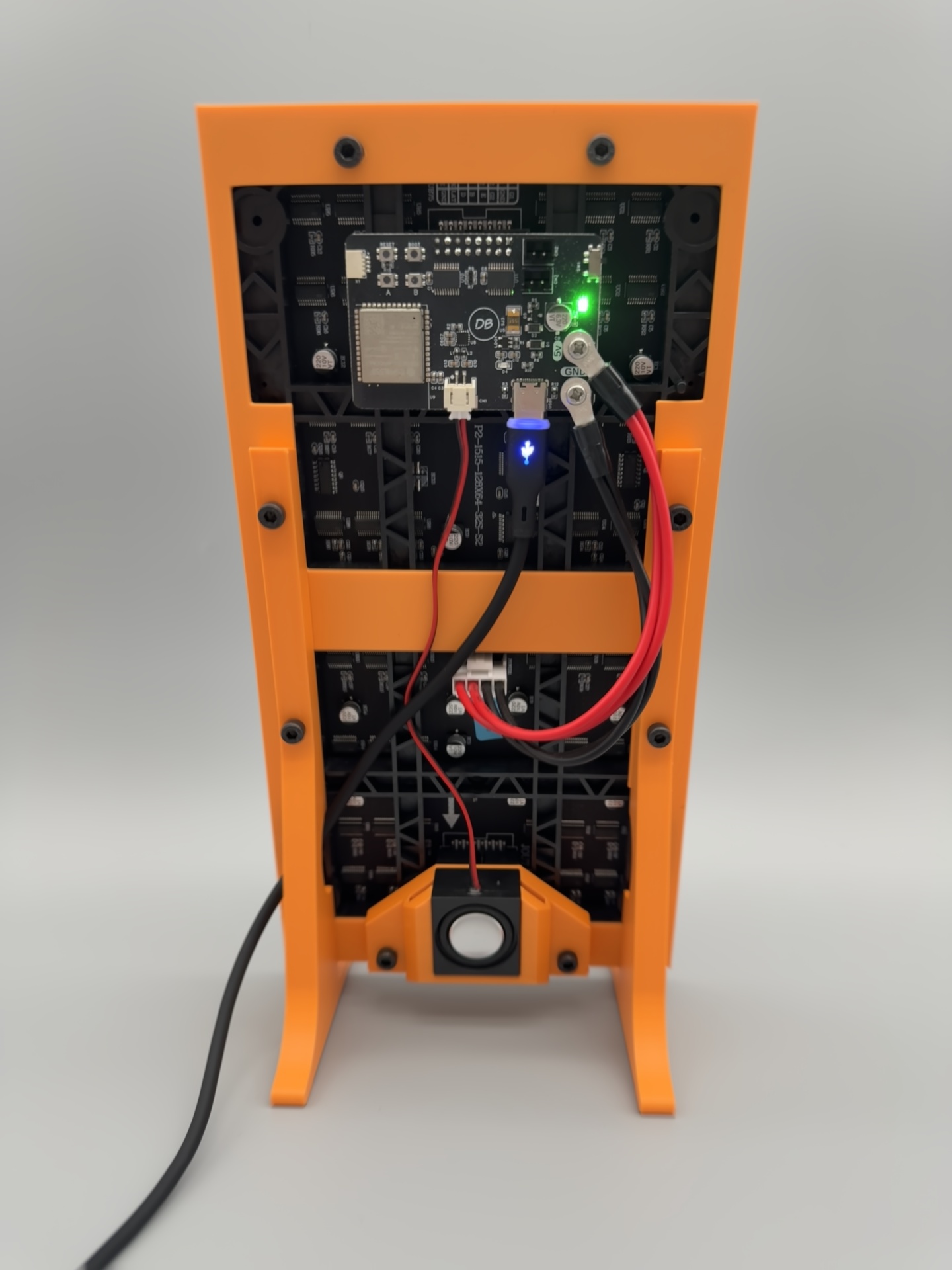
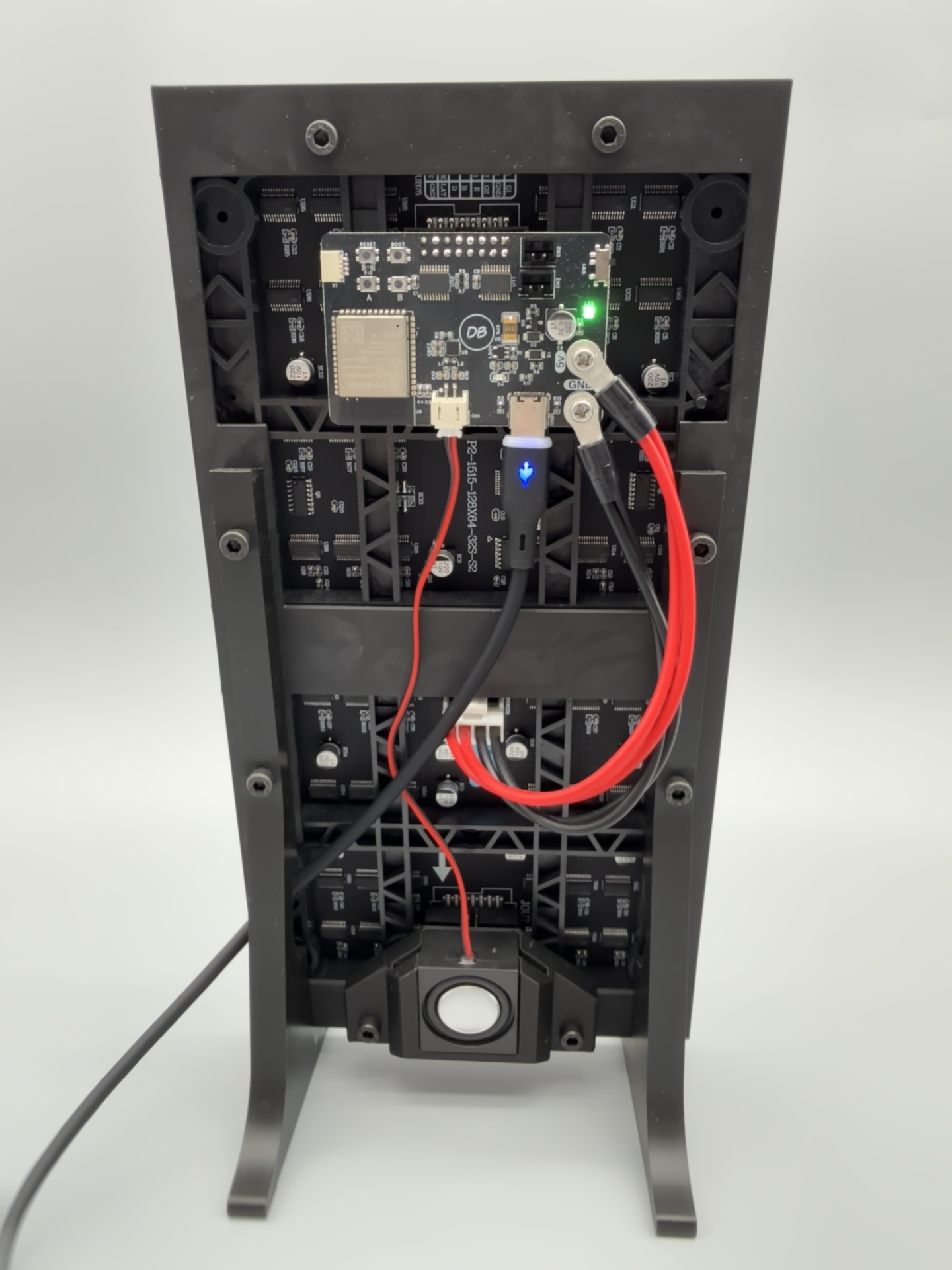
Set up in minutes from your phone or computer at dottieboards.com. Comes with a USB-C cable and power adapter.


Reviews
There are no reviews yet.